
Danbury Common May '25Anytime Orienteering
Type of course: Virtual Terrain type: Parkland & Woodland
Overview
This is a line event, where you are expected to visit the controls in the correct order. The course is in woodland and on heathland, with a complex path network. Both courses will need to cross roads, so please take care. It is highly recommended that you wear Orienteering or Trail shoes with a stud. Some of the steeper parts of the course are treacherous with flat shoes.
There are two courses - Long & Short.
Location Info
/0.5746,51.713,12/500x400?access_token=pk.eyJ1IjoicGF1bGZyb3N0IiwiYSI6ImNreHB6M2ttMjBlbnkyd28yNXZzZWJwbGQifQ.fnwThkHVCLn8Nf1UM5_AYw)
Near: Danbury Lat,Lng: 51.713,0.5746 Postcode: CM3 4ED
Open an interactive map in:
GoogleMap -
OpenStreetMap -
BingMap (OS 50k)
Directions / Parking
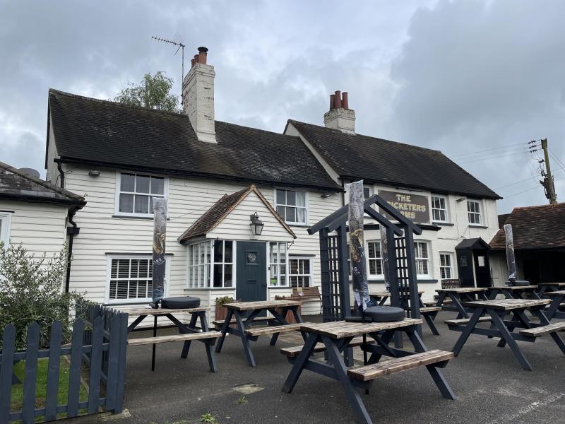
The event Start and Finish is at The Cricketers Arms, Penny Royal Road, Danbury, CM3 4ED
Small car park nearby off the start of Bicknacre Road (TL 779046), or Mayes Lane car park CM3 4NJ (TL 782049). Check the Mayes Lane car park for parking information.
MapRun directory path:
Danbury
Courses available
Danbury Common 2025 LongLine course, 5.6km, controls
Danbury Common 2025 ShortLine course, 3km, controls
Other Information
Safety Notes
Participation is at your own risk. Under 16s must be accompanied by an adult. Bring clothing and footwear appropriate for the weather conditions. As with any street orienteering participants will be required to cross roads and you are asked to take due care and attention at all times. High visibility clothing is strongly recommended.
There may be dog walkers, cyclists, scooters or residents on pavements and footpaths – be aware and give them priority. Cyclists move fast in this area. There is an area of the woodland which is permitted for mountain biking. This area is marked as Out of Bounds on the map, but care should be taken to watch out for cyclists that don’t follow the rules.
Nearest A&E Hospital
Broomfield Hospital, CM1 7ET
NHS Urgent care search
Facilities
There are no facilities, unless you are also using the pub.