
Writtle ForestSun 13 Mar
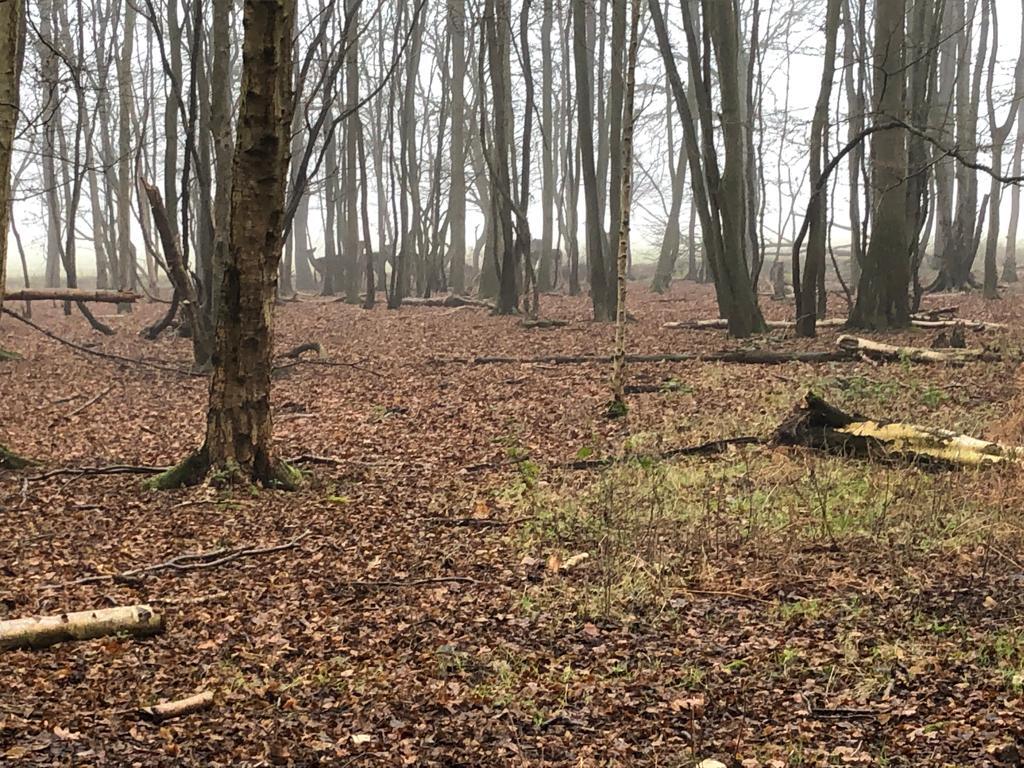
Deer in the forest
Photographer:
Eddie Banks
East Anglian League
Regional level event
Explanation of Event levels
Local events are usually low key and in the 'localised' area, ideal for newcomers to try the sport and Training events are non competitive and used for training and coaching, aimed at members of the club, but they can attract people from neighbouring clubs, and are often ideal for newcomers to try the sport. Regional events attract participants from around the local Region, National events are high quality competitions that will attract people from far away, Major events are Major Events such as a British Championships.
Terrain type: Forest
Results
Report
Organisers Comments
It is a great relief to
have finally got this event over the line.
At a committee meeting late last year I found myself saying I would organise the event on the original date then promptly realised that we had already booked flights to Portugal and would be away on the day. The following week Omicron hit and the trip to Portugal looked doubtful so I carried on with the organisation. As Covid subsided and restrictions here and in Portugal relaxed, orienteering in Portugal was back on the agenda. I twisted David Lumby's arm to organise on the day, left everything in place for a smooth event and jetted off with a somewhat bumpy takeoff as Storm Eunice was doing her bit. David was left with the difficult decision to cancel the event and deal with the aftermath. I joined in discussions by email and as a result of EA CompassSport round being held earlier, March 13th was a free date in the calendar. The decision was made to reschedule and the rest is history.
I don't normally put a long list of thanks in my report but this event could not have happened without a lot of work from a lot of people. So my thanks go in no particular order to
David Lumby for dealing with transfer of entries, credits and refunds and opening to new entries
Pete Davies at Racesignup for his support throughout the process
Eddie Banks for spotting the gap and rearranging all the permissions in a very short space of time
Lord Petre for access to his wonderful woodland
The Smith family at Entire Farm for use of the fishing lake for parking
Luxury Toilet Hire in Great Dunmow for waiving the hire fee and only charging for delivery and collection for the rescheduled event. Please consider using them for your events
Paul Beckett and Janet Biggs for support and advice in the run up to the original event
John Collyer and Eddie Banks for the courses which I hope you enjoyed
Kevin Machin for his work on the map
Colin West and Steven Partridge for stepping in to help with control hanging
It was a team effort and I couldn't have done it without you all.
Lyn West
Planners Comments
The shorter courses were entirely within Ellis Wood which we had not used since 2014. This gave a well-contained, but diverse area with some attractive runnable woodland, a path network suitable for the white and a variety of other line features to challenge yellow.
Eddie Banks
Starting everyone in Ellis Wood at least gave the juniors some paths to follow, unlike the other blocks. I hope competitors enjoyed the switching between areas, with the three longer courses also diving in and out of the complex pathways in Mill Green Common. The two larger blocks are a Planner's delight with so few distinct paths, and the variety of terrain therein. I hope you enjoyed them.
My thanks go to controllers, Janet Biggs of HAVOC, and Colin West (who stepped in as on-the-day controller when Janet had to exclude).
John Collyer
Controllers Comments
Writing from the post-event relief and tiredness, wow, what an event. Postponed due to damage from storm Eunice, and subsequent further high winds, we were so fortunate to be able to restage Writtle three weeks later and not to lose the hard work of the planners and the 150 maps produced for the February date. To find a date with access to the terrain and no clashing events in East Anglia was very lucky - there was a clash with the SE round of CompassSport Cup, to which we lost around 15 runners withdrawing from the Writtle event, but additional entries filled the gaps.
First time round, we had before-the-day controller and organiser who were committed to orienteering in Portugal on the original Writtle date. They handed over to on-the-day officials who were faced with the tough decision to cancel - and safety being paramount, they made this hard call.
John Collyer and Eddie Banks had divided the planning such that junior courses were run in Ellis Wood, and longer courses across four distinct areas of Writtle Forest. The woodland is blessed with little obstructive bracken and brambles, so runnability was generally good, and the planning made good use of that. Comments received from runners showed appreciation of the terrain and planning.
Grateful thanks to Paul Beckett who was to be on-the-day controller until downed by injury, and to Janet Biggs who substituted for Paul for the cancelled February date and was then lost to a positive Covid test for the March day.
Colin West
Overview
This event was rescheduled from February 20th following cancellation as a result of high winds.
Entries are now closed. Late entries are available subject to map availability by emailing the organiser
Final details available here as pdf
Location Info
/0.3649,51.7005,12/500x400?access_token=pk.eyJ1IjoicGF1bGZyb3N0IiwiYSI6ImNreHB6M2ttMjBlbnkyd28yNXZzZWJwbGQifQ.fnwThkHVCLn8Nf1UM5_AYw)
Near: Chelmsford Lat,Lng: 51.7005,0.3649 Postcode: CM1 3RA What3Words: ///gear.patch.gentle
Open an interactive map in:
GoogleMap -
OpenStreetMap -
BingMap (OS 50k)
Related events or Information
Directions / Parking
Parking is at Arran Fishing Lake and the end of Metsons Lane, Ingatestone Road, Highwood, CM1 3RA Please park as directed by the marshalls.
From A12 east, leave at junction 15. At roundabout take B1002 towards Margaretting and turn right at crossroads in the centre (Wantz Road). Cross A12, turn left onto slip road and then right onto Ivy Barn Lane. After approx. 1.2 miles turn sharp right into Ingatestone Road (O sign).
From A12 west, leave at junction 12 and take B1002 toward Ingatestone. Turn left at crossroads in centre of Ingatestone (Fryerning Lane), Cross A12 at turn right at T-junction. After approx. 1 mile, fork left into Ingatestone Road (O sign)
DO NOT approach from west end of Metsons Lane by Barrow Farm. Metsons Lane is a no through road although it is marked as a through route on some maps.
Map / Terrain
Ancient woodland. Very runnable with no significant undergrowth.
Map updated for the event
1:10000 for Light Green and above
1:5000 for White, Yellow and Orange
Course Information
| Course | Length (km) | Climb (m) | No of controls |
| Brown | 7.8 | 29 | |
| Blue | 6.3 | 25 | |
| Green | 4.9 | 18 | |
| Short Green | 4.0 | 15 | |
| Light Green | 3.5 | 14 | |
| Orange | 2.8 | 30 | 13 |
| Yellow | 2.3 | 20 | 13 |
| White | 1.6 | 20 | 13 |
Entry Details
Pre entry only via Racesignup. Entries from 20 February will be transferred and you will receive information from Racesignup. New entries welcome via https://racesignup.co.uk/site/event.php?eventid=2540
Please check East Anglian League classes before entering. Available here as pdf
£10 seniors (£8 members of British Orienteering), £3 juniors (under 21) and students.
SI card (dibber) hire £1.
Registration and Start times
Enquiries open from 10:00am. Start times 10:30am-12:30pm
Start times will not be preallocated within start blocks.
Facilities
Enquiries, dibber collection, download and portable toilet will be situated at the forest end of Metsons Lane
Guidance for beginners available from the Enquiries point.
Start is in Ellis Wood. Cross Ingatestone Road (take care) and walk down Cock Lane. Please accompany under sixteens to the start. White, yellow and orange will finish in Ellis Wood. Crossing will be marshalled after 11am for returning juniors.
Dog restrictions
Well-behaved dogs on a lead
Contacts / Officials
Organiser: Lyn West
Planners: Eddie Banks, John Collyer
Controllers: Janet Biggs (HAVOC)
Assistant controller: Colin West (SOS)
Nearest A&E Hospital
Broomfield Hospital, Chelmsford, CM1 7ET 01245 443673
NHS Urgent care search
Safety Notes
Light green, short green, green, blue and brown courses have road crossings. Please take care.
Some paths are in distinct due to leaf cover. Smiley faces are provided on white course to give reassurance. Leg 6 on white course is taped.
Runners on yellow course should be able to identify line features other than paths. Eg streams, gulleys and vegetation boundary. Control 121 on yellow course is visited twice. Take care to go in the correct direction.